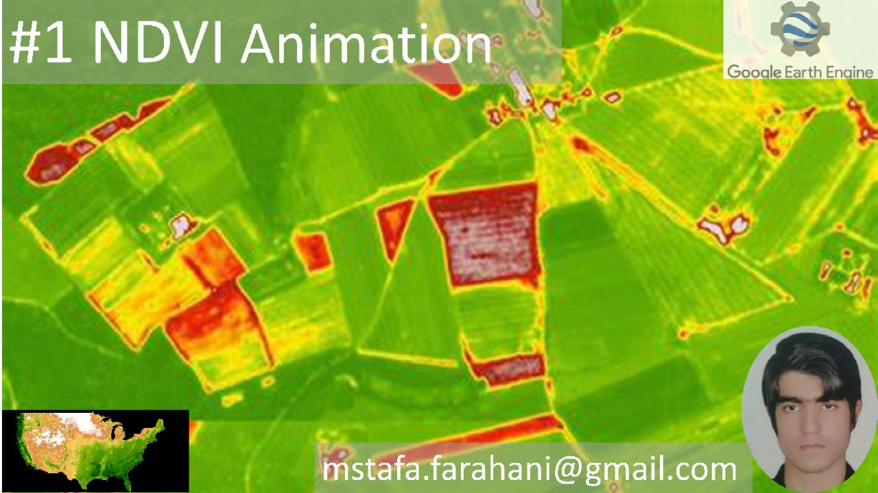
NDVI Animation + Code with Google Earth Engine
NDVI Animation + Code
Google Earth Engine Analysis
NDVI Analysis and Animation in Google Earth Engine

#RemoteSensing #NDVI #GoogleEarthEngine #GIS #ClimateChange
Description:
NDVI (Normalized Difference Vegetation Index) is a widely used indicator for monitoring vegetation health and coverage. Utilizing Google Earth Engine, NDVI can be calculated and animated over time, providing valuable insights for environmental and agricultural studies.
Historical Context:
The concept of NDVI emerged in the 1970s with the advent of satellite technology. It has since evolved into a critical tool for remote sensing, allowing researchers to track vegetation changes globally.
Impact on Environment:
NDVI helps monitor deforestation, drought conditions, and urbanization impacts on ecosystems. By assessing vegetation health, it contributes to sustainable land management practices.
Impact on Humans:
NDVI data supports agriculture by predicting crop yields, managing irrigation, and identifying areas affected by pests or diseases. It also informs policymakers in addressing climate change challenges.
Challenges:
Despite its benefits, NDVI has limitations, including sensitivity to soil background and atmospheric conditions. Combining it with other indices enhances its reliability.
Technological Integration:
Platforms like Google Earth Engine enable efficient NDVI computation and visualization, making it accessible to researchers and decision-makers worldwide.
Future Prospects:
Advances in machine learning and big data are expected to refine NDVI analyses, enabling more accurate predictions of vegetation dynamics and environmental changes.
Applications:
NDVI is widely used in environmental monitoring, urban planning, disaster management, and climate change studies. Its applications span across agriculture, forestry, and water resource management.
Conclusion:
NDVI remains an indispensable tool for understanding and preserving our planet's ecosystems. Its integration with emerging technologies holds the promise of greater precision and impact.
Call to Action:
Explore NDVI animations and data analysis with Google Earth Engine. Join the community of researchers and professionals utilizing this powerful tool for a sustainable future.
#GIS #VegetationMonitoring #RemoteSensingApplications
Vedio and code in youtube channel Follow us on social media:
- ۲۱ بازديد
- ۰ ۰
- ۰ نظر